The Lacandona Forest is a stretch of wet montane rain forest that extends from Guatemala through southern eastern Mexico. With 1500 different tree species, 390 species of birds, and 119 mammal species, it serves as a vital Mesoamerican Biological Corridor. The Lacondon Maya are direct descendants of Mayan civilizations that both settled in the forest before Spanish conquest, and fled to these forested ares during Spanish conquest. In other words there is a direct connection between the Maya of 1000 years ago and the Maya of today.
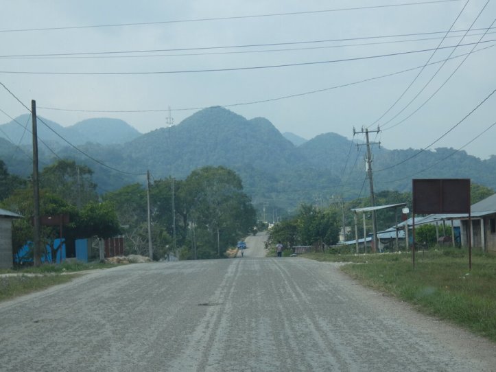
The central road from Palenque to Frontera Corozal and Laconja Chansayab is a 2-3 hour drive narrow two lane road through many small towns and topes. Driving this road was more than a challenge. A massive construction project meant hundreds of dump trucks moving up and down the road along with double long semi-trucks brings goods to and from Guatemala, made moments on the road a little tense at times. People sell gas by the liter bottle out of their homes and on benches roadside — there are no gas pumping stations.
Yaxchilan
Frontera Corozal lies on banks of the mighty Usumacinta river at the southern tip of Mexico. The Usumacinta river separates Guatemala from Mexico. This small town provides a launch point for the hour long ride down diver to the archaeological site. Giant walls of dark green lined both sides of the river.
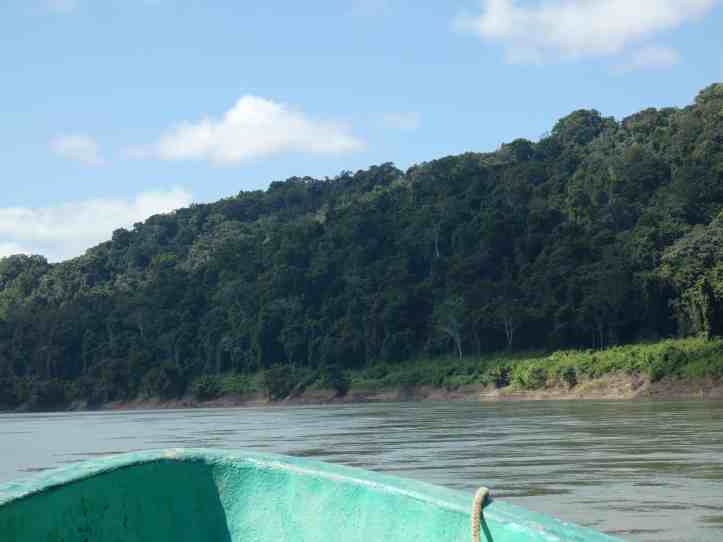
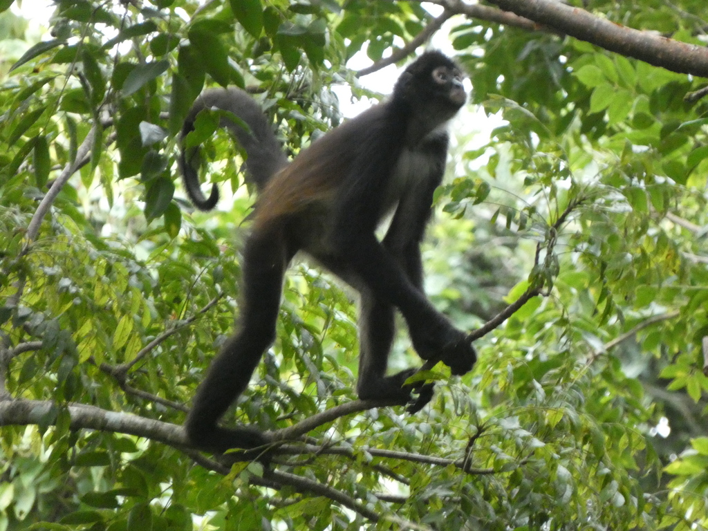
I left at 5am and arrived at the archeological site at day break before the archeologists. Dawn’s light could not penetrate the dense wall of green. Fortunately, my guide Francisco had an amazing ear for wildlife and was able to help me identify the many sounds of the jungle. Walking in the entrance area the trees were beyond massive, everything made me feel small and insignificant. Monkeys howled, branches rustled, and many birds sang good morning. (Standing in one spot for 15 minutes my guide and I counted over 40 bird species – incredible).
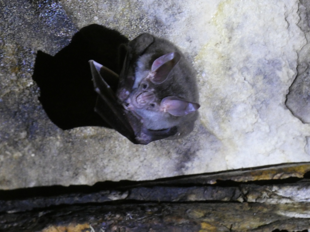
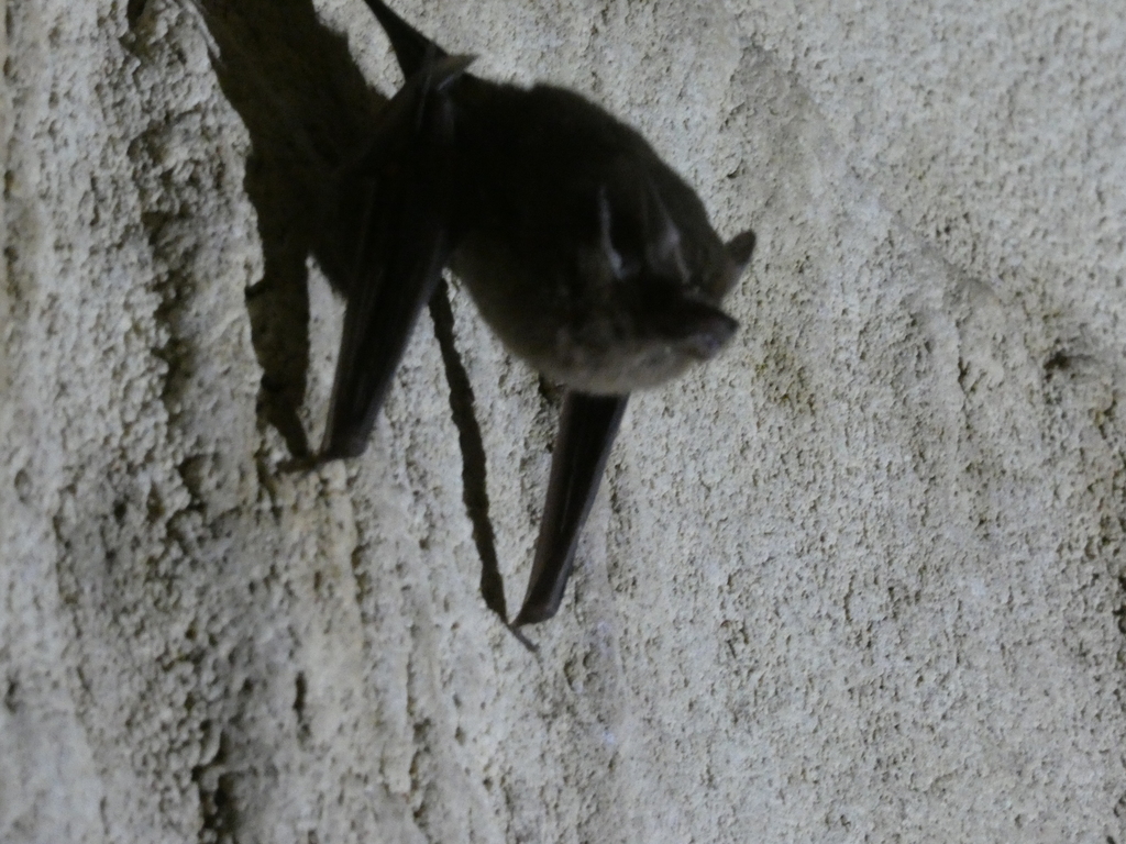
To enter the archeological zone, we had to pass through a brief series of bat filled tunnels.
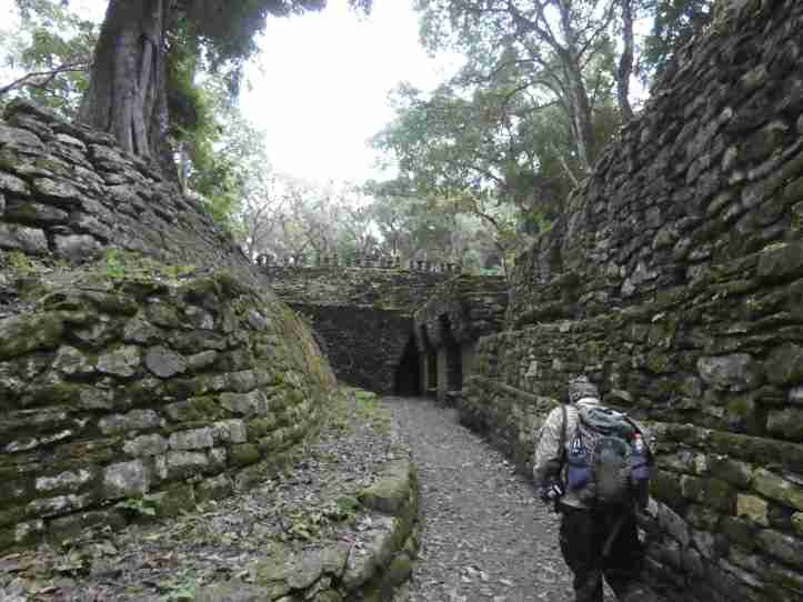
Exiting the tunnels we entered a small hollow with several small structures on one side and giant staircase leading up to the acropolis on the other.

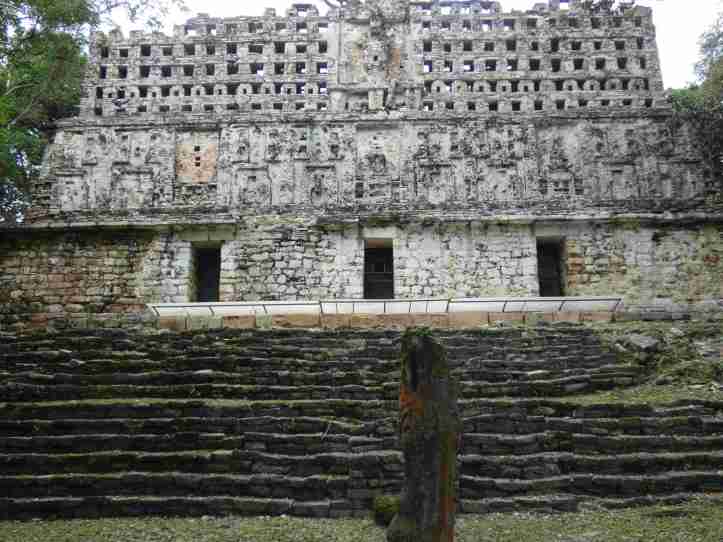
I passed the whole day there and only saw a handful of archeologists and two national park guards. At the top of only temple there was a massive courtyard with gallery seating all around: “The had community meetings here or ceremonies” Francisco explained. I sat here catching my breath with the sounds of nature all around trying to fathom and imagine a community gathered here by fire or during the day to discuss community business or celebrated.
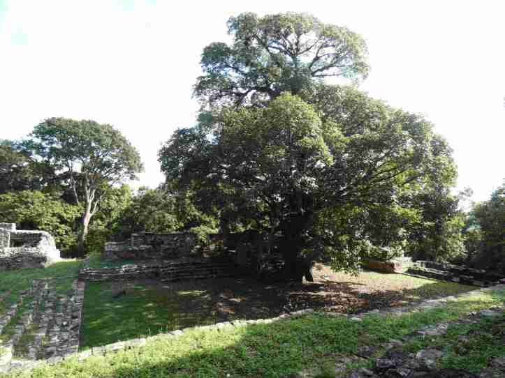
Only half of the known area has been excavated with almost nothing restored. It was truly a wild encounter.
Bonampak
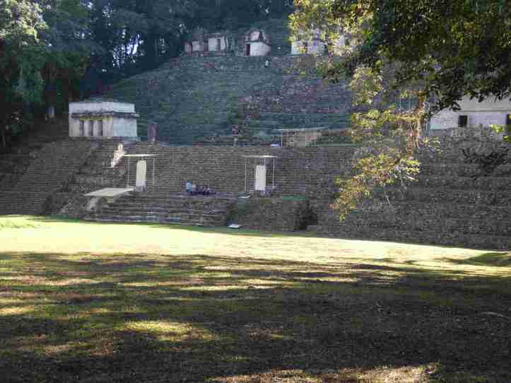
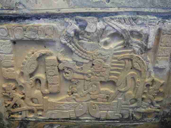
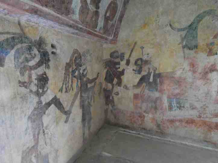
Access to Bonompak is controlled by the residents of Chansayab. They will drive you to the site. They can provide guide services if you want. And they will drive you back to the entrance. I knew very little about this site. Although it appeared small with a central acropolis several components really surprised me.
Lacanja Chansayab
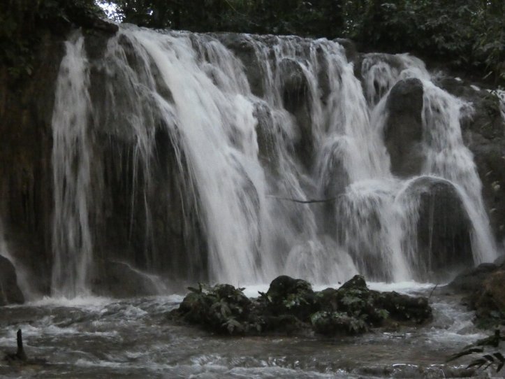
The El Ejido community of Lacandona Maya that administers bonampak lives in Chansayb. There are several rustic accommodations in this small town. Many tourists come down from Palenque go to Yaxchilan and Bonampak then stay one night in the village. Over the years they expanded their offerings to include guided walks in the forest, river rafting, and cultural experiences. I opted for a walk in the forest. I was curious about milpas and their impact on the forest. The is a large network of trails, and all of them are unmarked. A guide is definitely needed because after several right and left turns I has no idea which way was up. Many of the trials lead deep into the forest while some lead to small cultivation spots. For reference milpas are small cultivation areas. A area of forest is cleared typically us a controlled burn. Then crops are planted. Gradually the forest reclaims the land as the various fruit trees grow bigger. Then as that spot becomes too forested, a different area is cleared. Scientists studying Mayan ruins have found that a large portion of the forests surrounding the ruins have high concentrations of plants and trees that were valuable to the Mayans indicating that this practice has been ongoing for thousands of years. As I walked through the forest it was clear that was actively being used. Quite a few trees were felled and either sawed into wood rounds for burning or planks for building. Wildlife was abundant many species of birds that only exist in a healthy forest ecosystems. Moreover, my guide Josue spent a lot of time on his phone showing pictures of different animals he seen with his friends right on these trails. The trails were an absolute labyrinth of crisscrossing paths. Some trees had signs next to them, and some paths looked more like a game trail. Josue navigated them all with they type of confidence that one only had growing up on the trails.

Staying in a Mayan villages conjures up images of an indigenous community living subsistence lives off the land. While it is certainly true that many of these communities are connected with land, they are every bit as modern as their counterparts in larger towns and cities. Phones, electronics, current event awareness, and entrepreneur savvy are all in place. Some key differences: They can trace their history back a lot longer than most of us and they care a lot more about their land than their city dwelling counterparts.
I wanted to stay longer. My four hour walk was way to short. I should have scheduled a week here just to walk in the forest. But time doesn’t wait and after two days I had to move on.
Naha
I keep saying remote, but Naha was even more remote. The drive pushed my rental car to the limit. Pavement gave way to a graded dirt road, and the relatively level and slight grades became steep zig zags up steep passes. Even though the destination was only 90 kilometers away, it took a solid three hours of driving to navigate potholes, topes, and steep windy dirt roads. The road increased 4000 feet in elevation. The small towns along the way provided constant reminders of the diversity in lifestyle of different Mexican communities. Some houses were concrete and some were mud-brick. Others where metal siding and wood. Many had flocks of chickens and groups of pigs out front. The drive really reminded me that the journey is just as interesting as the destination.
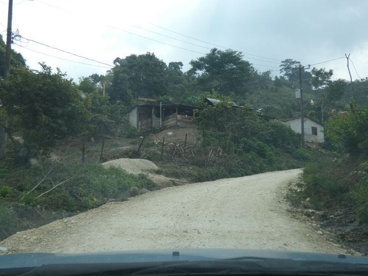
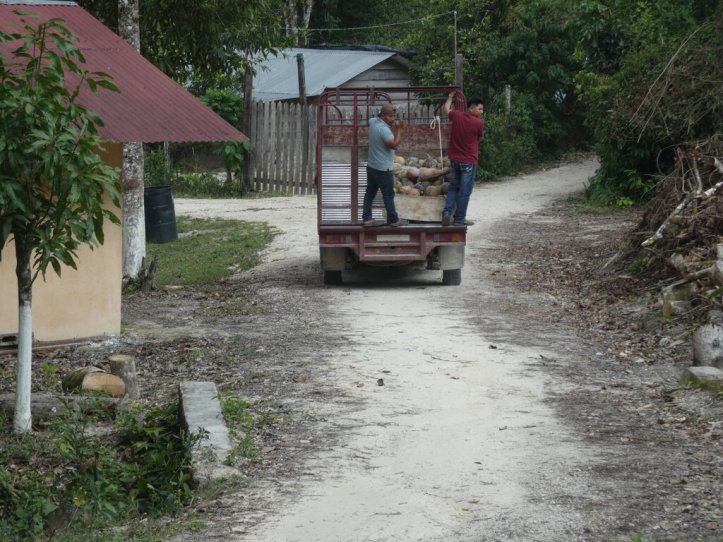

Eventually, I rolled in to the area of protection of flora and fauna that was established by CONAP in 1998. At just over 130 square kilometers (51 square miles), it is small but compact. It is both a UNESCO -MAB and RAMSAR site. Over 40,000 plant and animal species make this their home. I really wanted to make the most of my time here although the 16 hours of rain kept me from taking some good pictures, it didn’t prevent from getting out and seeing what I could.
The town invested in creating an Ecolodge. It is quite spectacular. Thatched ceilings, comfortable beds with mosquito nets, hot water, and a great location next to a hiking trail. I thoroughly enjoyed my brief time there and wish I could have stayed longer.
 Epic Odyssey