It sounds majestic; and certain parts of it were. However, it wasn’t all beauty.
Part 1: High Altitude Euphoria
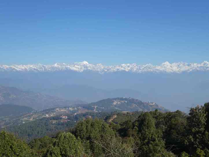
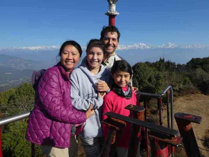
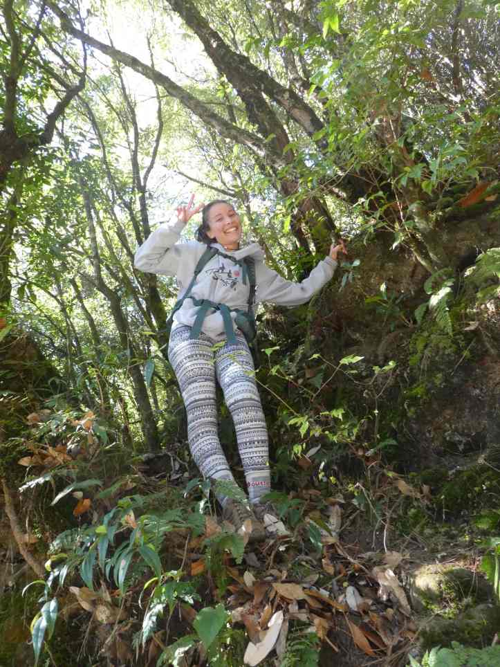
We started our hike early after a breakfast and headed towards the View Tower. As we headed up, the views of the Himalayas become more and more spectacular. At the View Tower we were treated with 360 degree view on the mountain ranges. Visibility wasn’t good enough to see Mount Everest, but the mountains we did see were awe inspiring. The Annapurna mountain range was in the distance, but we could see the Langtang mountain range the clearest. The shortest peak was 5520 meters (18,110 feet), over 4,000 feet taller than mountain I had ever seen. The tallest peak was 7234m (23724ft). In the Annapurna range the shortest peak was 7455m (24,457ft). The tallest was 8091m(26,545ft). These were dizzying heights, and I could not fathom how people climbed things this tall.
The View Tower was at 2100M (which put it 600 meter shorter than Half Dome in Yosemite) and over 2000M lower than my highest elevation and 1000M lower than the average John Muir Trail elevation. The air was crisp, but still not as fresh as the air in on the JMT! Our spirits were high as we gawked in constant amazement at the mountains.


Part 2: Walking down
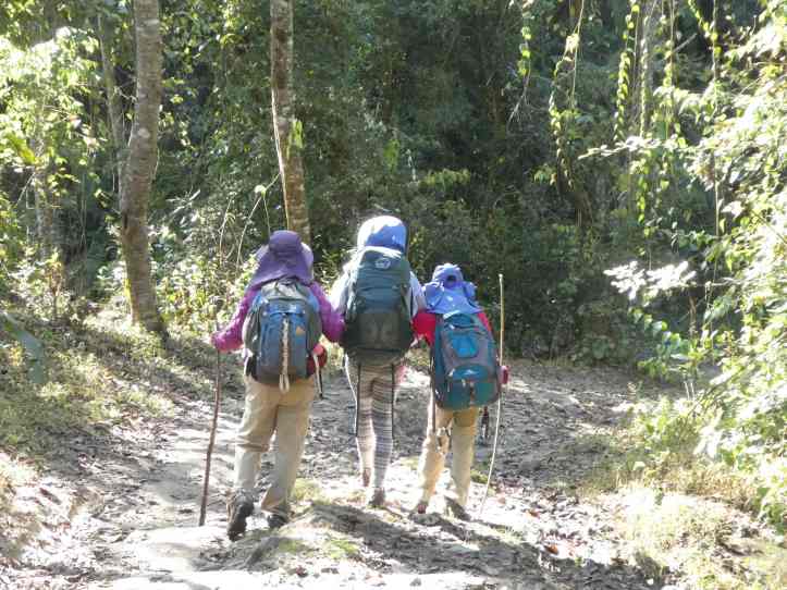
Anxious to get going and worried that we’d have enough time, we pressed on. We followed the finger pointing of some locals to the trail to Dhulikhel. We were hiking with our gear, and I knew it would be long hike. I was hopeful we’d make it before dark, as most of the trail was downhill. I was also nervous because I didn’t have a hard copy map with me. I was totally dependent on Alyssa’s Maps.me app she had on her device.
We weren’t in back country, so I remained worried…but optimistic about getting unlost if need be.
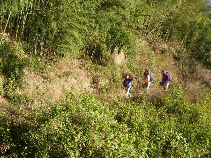
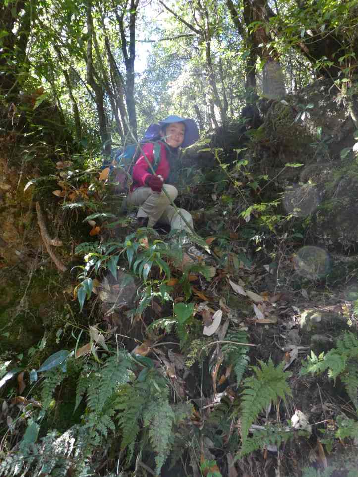
We headed down the path and came to a clearing. Here the local pointed one way and maps.me pointed us another way. We went with the local direction as the trail was more worn. However farther into the trail, Alyssa expressed consternation that we were headed in the wrong direction according to her app. We cross-countried it through foliage and brush to get to a larger trail that “looked right”. The girls loved the sense of adventure and bushwhacking through forest.
This trail was more a narrow dirt road, I could see scooter tracks on it, so i knew it was used regularly. Down we hiked through the forest. This was the best part of the trail. It was alpine forest, a light grade, and the air was relatively fresh. Nature chirped around as our spirits and energy were high and we coasted down hill.
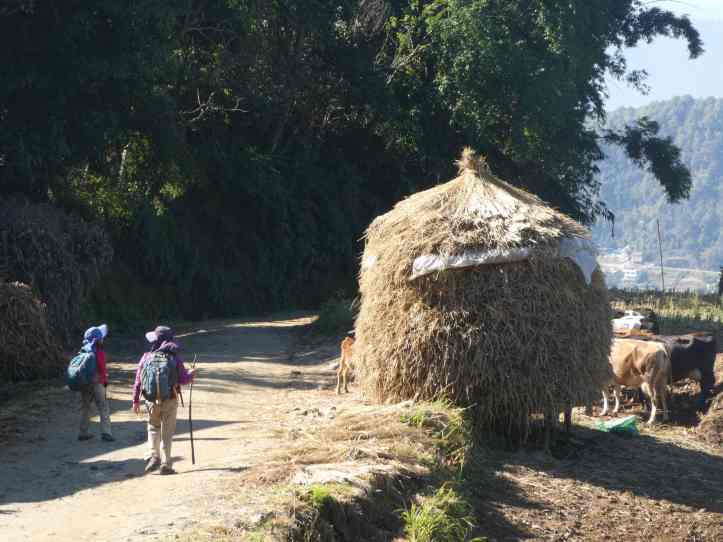
The second part of the trail opened as the small road met with another dirt road. The forest gave way to the terraced hill sides as far our eyes could see. Corn and vegetable laden fields speckled with houses up and down the steep hills. We ran into quite a few local people. Most wave and said hello. Some children begged for money. “Hello, Money?” or “I’m poor, Money?”. Kylie asked why they were asking for money. While many times people romanticize this bucolic lifestyle, the reality was harder than the image. People work every day, the air was not clean, the earthquake of 2015 set a great many people back. It also opened the gate for a lot of international aid to come in, but perhaps not enough. Also western trekkers like ourselves trek through these parts fairly often showcasing a difference in the standard of living. All of that contributes to a sense of inequity.
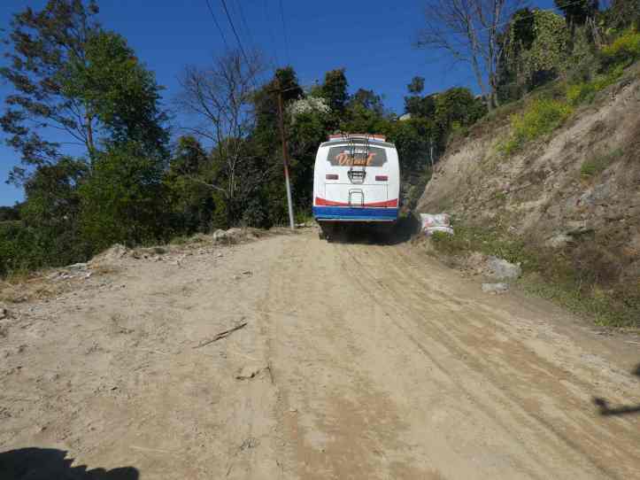
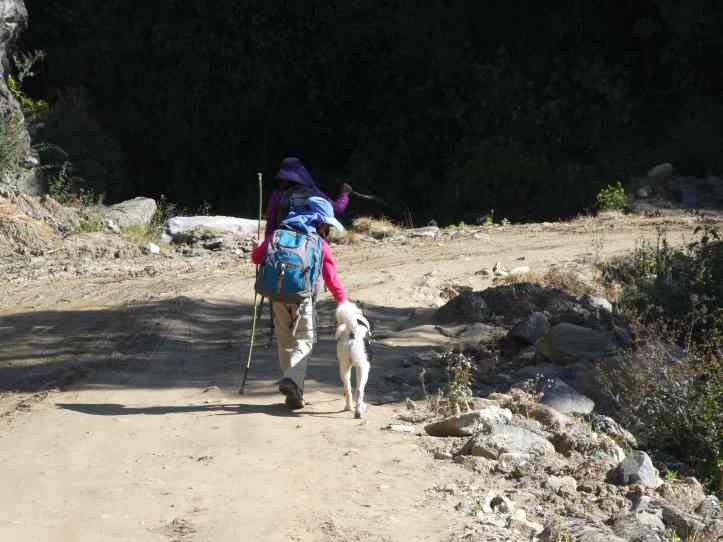
Dogs are worshiped in Nepal, so there are a lot of strays. Along the way “Billy” joined us. He trotted along neither barking nor begging to keep up company. We stopped for a snack by a waterfall and continued down. I couldn’t believe it, but a bus passed by us on this dirt road. It barely fit! We kept going down and eventually the road turned to pavement, the road got a little wider, and Billy turned around and went back.


Part 3: Rock Bottom
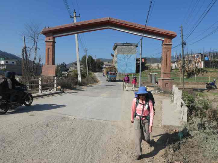
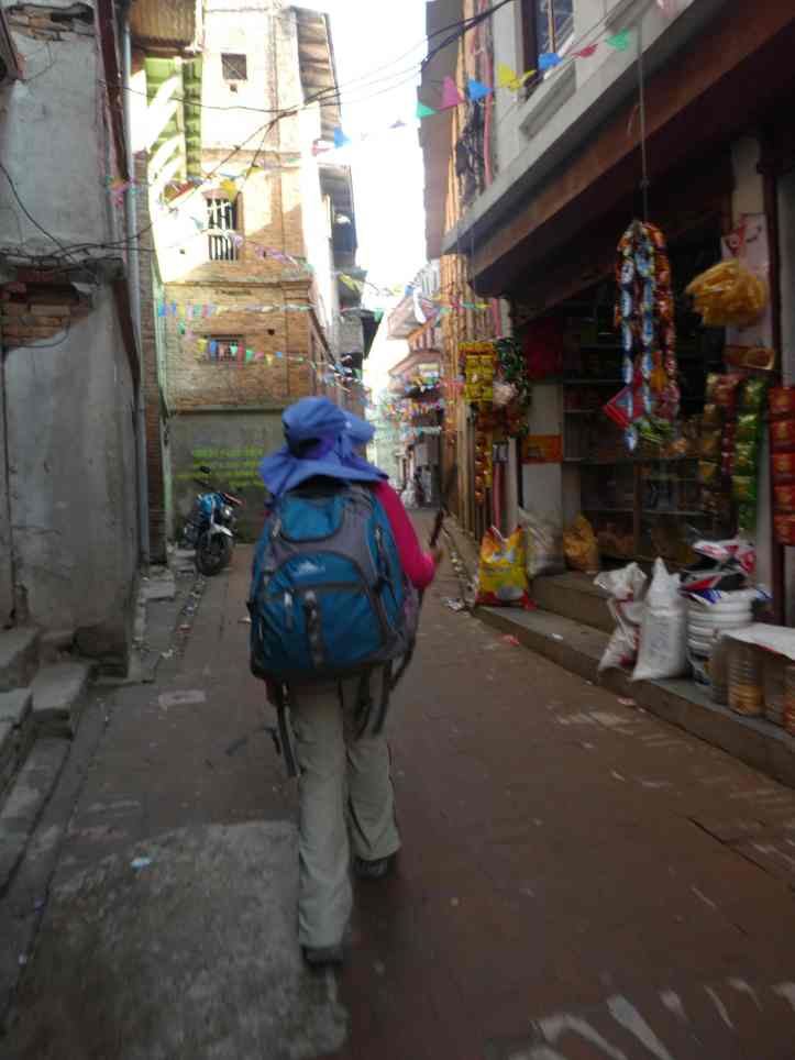
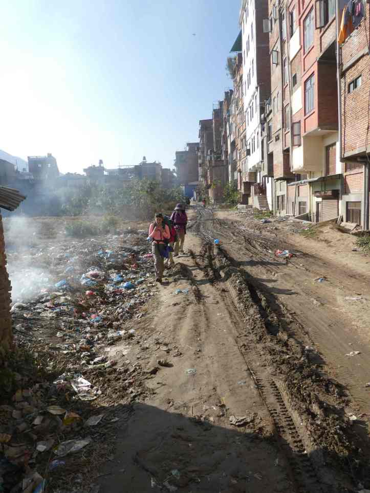
The last part of our hike ended near the downward slope as we entered the larger towns. The air quality was noticeably worse. Giant trucks sped by, honking horns, bellowing black smoke, and kicking up dust. Cars and motorcycles roared by as well. We walked along the road until we could cut through back streets at Banepa to avoid the main street. While some of it charming, other parts were less so. At its best, there were eateries, people selling their wares, fruit and cloth markets. At its worst it was muddy alleys next to fields of burning plastic and garbage. We were all tired and sore, the day was getting late. We made our way through some back streets to the beginning of Dhulikhel, found a hotel, and collapsed for the evening.

[…] continuous activities of the last few weeks caught up with me. I was nauseous for most of our Himalaya hike, and by the time we got to the hotel I was outright feverish. Even though the temperature was a […]
LikeLike
[…] place to place. Many times the movement was part of the adventure such as hiking the Great Wall, The Himalayas, or exploring the ancient ruins in Angkor Wat, Borobadur, or Prambanan. Sometimes the […]
LikeLike