Valley of the Gods and Monument Valley
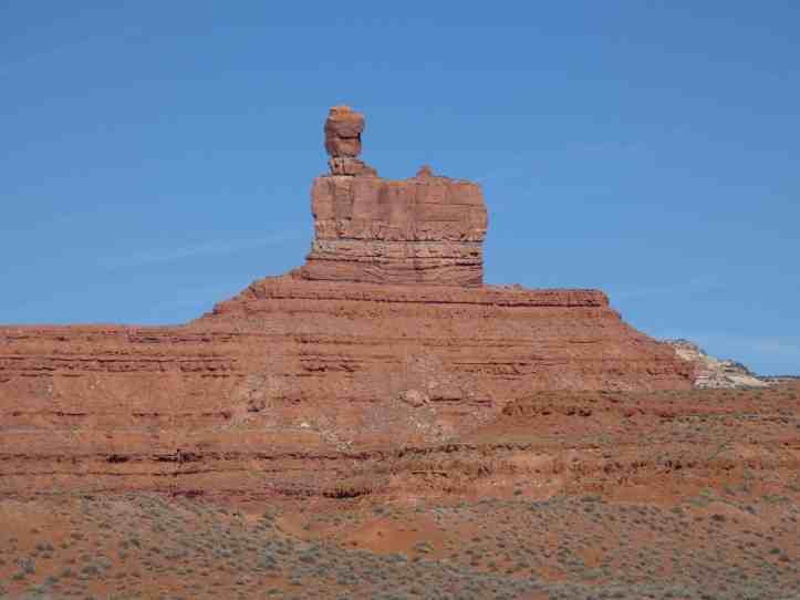
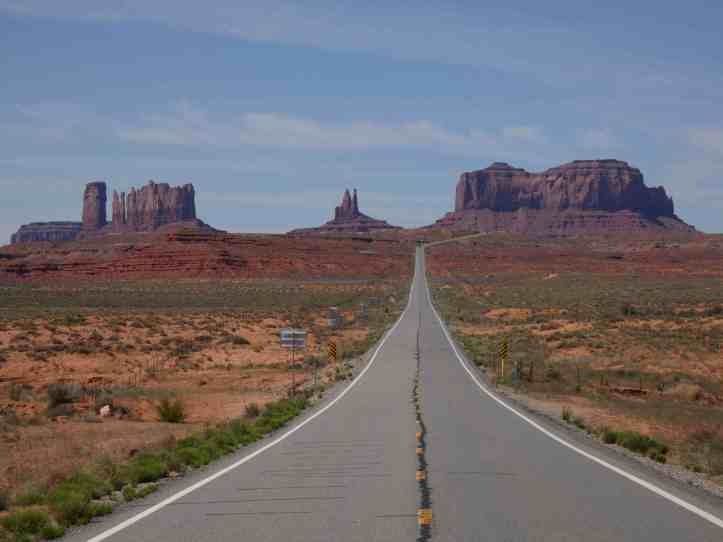
The defining features of both of these locations are giant buttes that rise up hundreds of feet from the valley floor. More accurately, the ground around them eroded over millions of years leaving these tall pillar like structures in their place. Monument Valley is on Navajo land and requires admission and permission to enter. Valley of the Gods is on BLM land which means its open to everyone. Many people even camp within it. The quiet and larger than life landforms make one feel small like a small piece in a larger tapestry struggling to feel important. The paradox of the immediacy with which we live our lives it set against the back drop of scene created by millions of years of work.



Monument valley marks the beginning of the Navajo reservation. There is a welcome center that is important to visit. In their own words and perspectives it tells an abridged history of the Navajo people in this region. It also outlines some of the challenges they faced beyond the beginning encounters with European settlers. I learned that the Navajo obtained sheep from the original Conquistadors. For three centuries the Navajo integrated sheep into many aspects of their existence. The US government forced many of the Navajo off their traditional lands and marched them into a much smaller space. The Navajo used their sheep expertise to make and export textiles of high quality up until the 1930s, when the US government decided that the Navajo were “overgrazing” their land. Between 1930 and 1960, the federal government required a culling of 70% of the Navajo sheep herds. This impacted greatly a major component of Navajo revenue. While it is still possible to find some traditional Navajo weaving using local sheep, most Navajo textiles are made with outsourced materials or fabrication. Pre colonization, Navajo land extended for about 60,000 square miles (from current day Flagstaff and Page Arizona to Alamosa Colorado all the way to Santa Fe New Mexico). The treaty of 1868 granted a “reservation” of 100miles by 100 miles), but the federal government forceable relocated all Navajo people from their vast and expansive land to just a plot that was under 5000 square miles – 8% of their traditional land and half of what they were promised in the treaty of 1868. Over time the federal government as added back land to the Navajos, the sum total of their reservation today (27,000 square miles is still about 40% the size of their traditional land) (Click here for more detailed history)
Gooseneck State Park
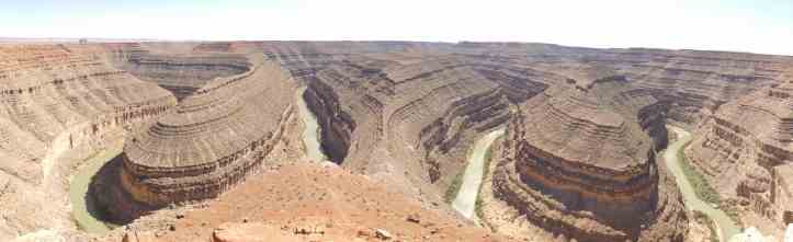
Not far from valley of the gods is Gooseneck State Park, which is one best examples of an entrenched river meander in the world.
Antelope Canyon
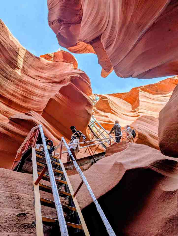
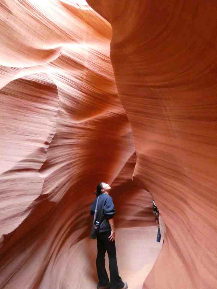
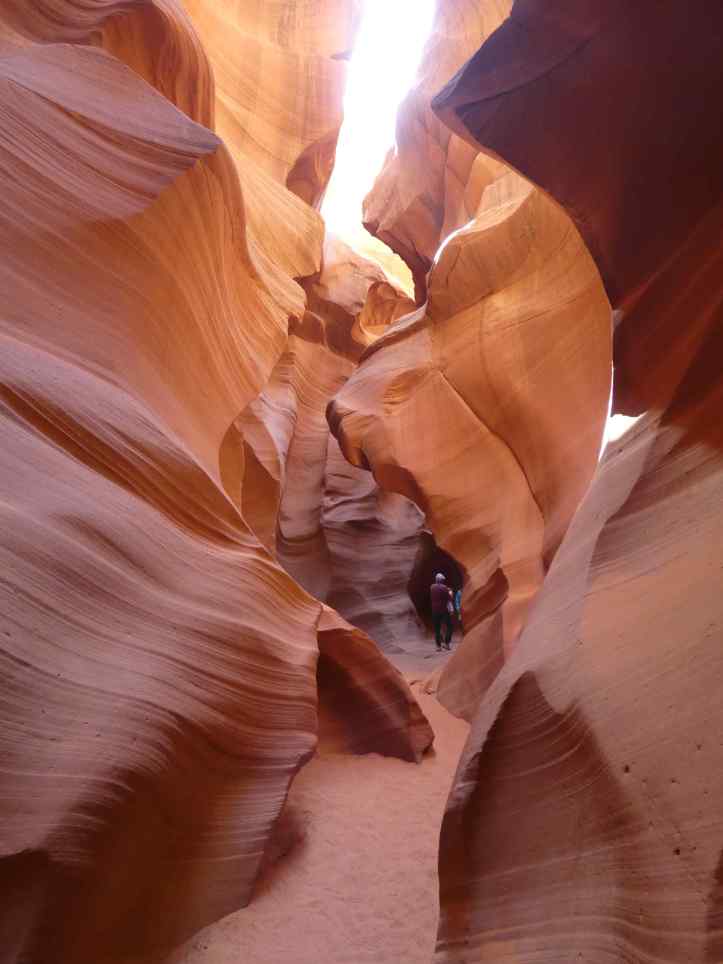
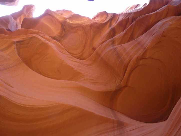
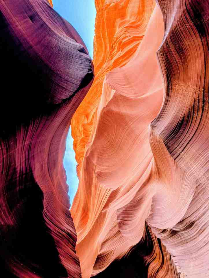
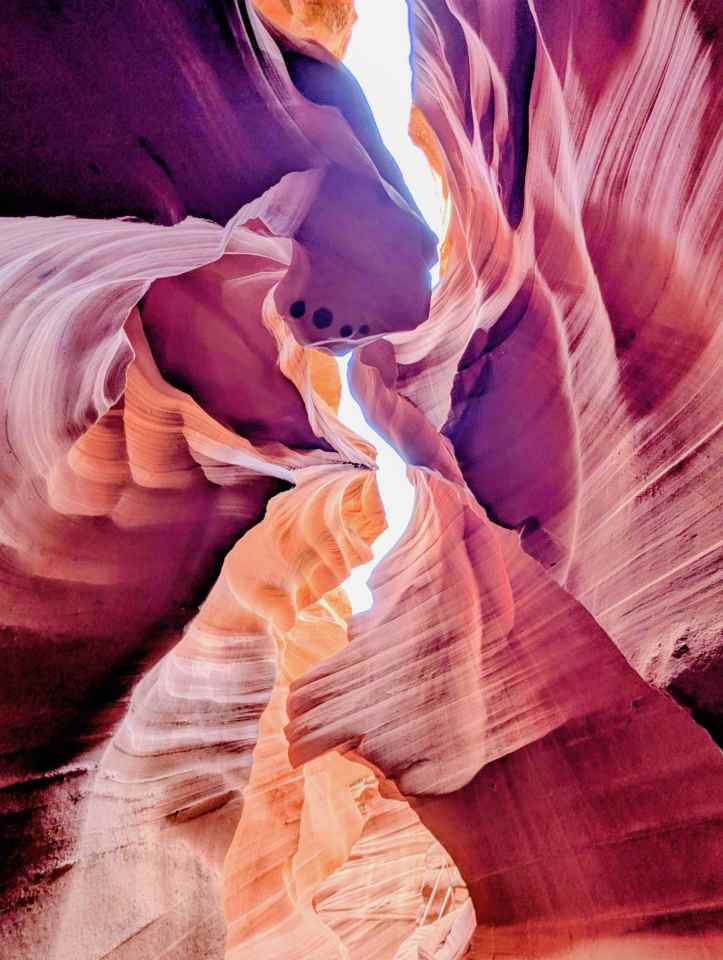
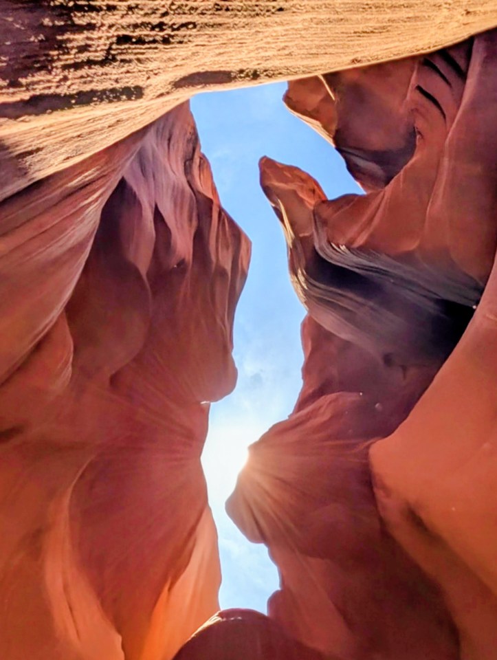
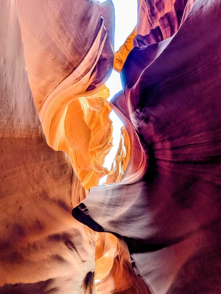
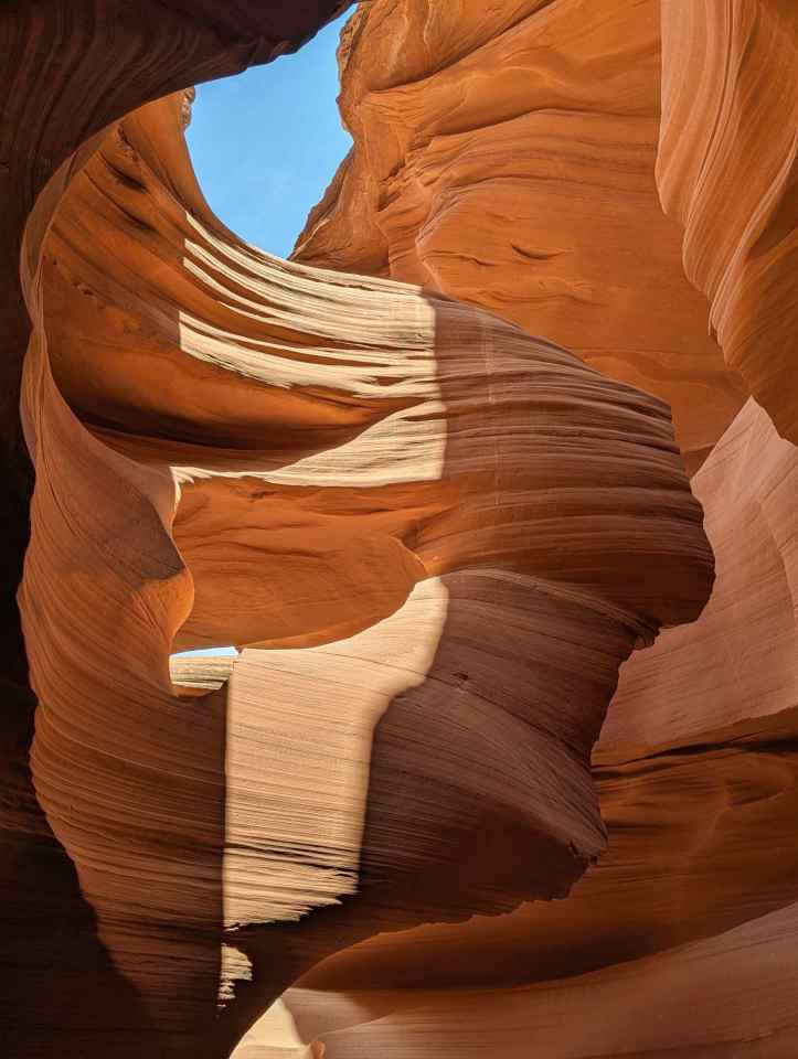
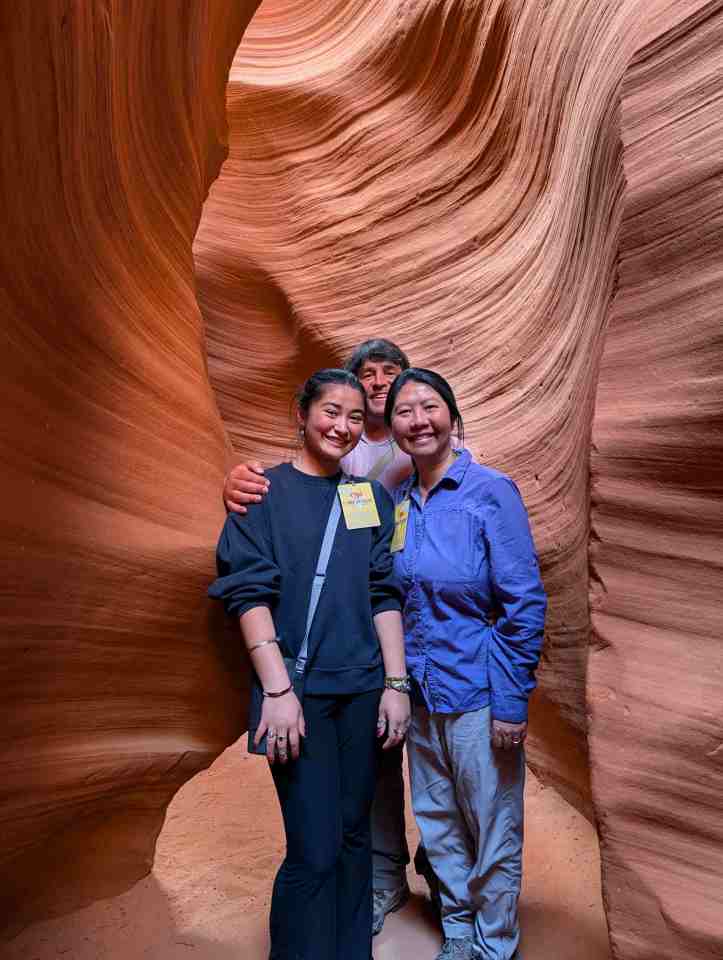
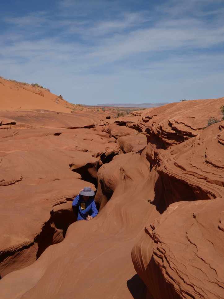
At the edge of the Navajo reservation in Page Arizona. The Navajo offer tours of bother upper and lower antelope canyon. We opted for a lower antelope canyon tour and had the good fortune of having Preston as a guide.
“I take it as part of my responsibility to help educate. You have been lied to in your schools”
“Di Na, people, that is what we call ourselves. People. When the Spanish came to our land in the 1500s, they saw that we carried knives with us and called use the Knife people, navaja in Spanish means knife. When the Europeans came to our land they used the Spanish words, thus writing in their books we were Navajo. Di Na, we are people.”
As Preston educated us about his people, customs, and the canyon, many questions started to germinate; but that was not the point of the interaction as he turned our attention to the Canyon.
“It used to be anyone could just come here, climb down on rope and explore….in fact this was the playground of my parents.”
“There are no videos allowed.” Preston continued. “Many people have come to Navajo land, take videos, than make money from those videos, they profit off us and our land.”
Valley of Fire State Park
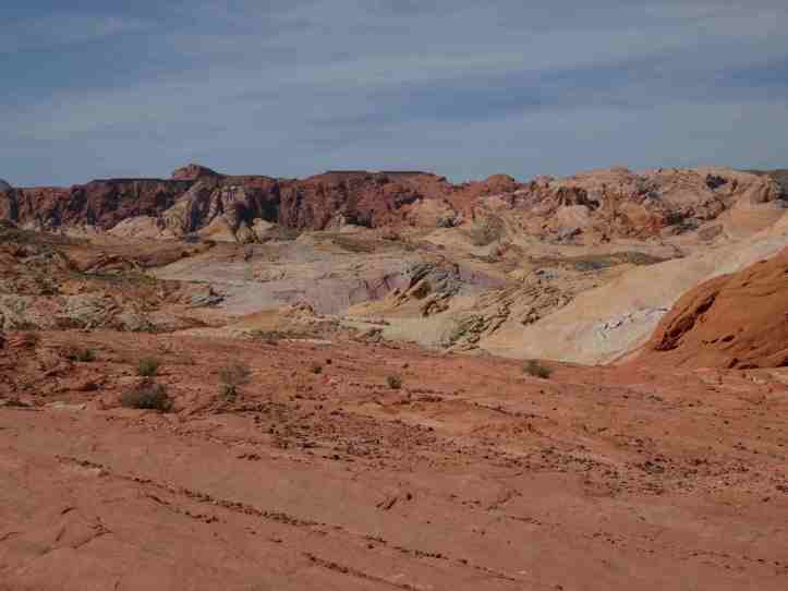
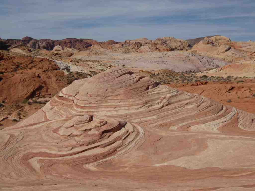
Just a hop, skip, and jump away from Las Vegas is the Valley of Fire State Park. Nevada’s first state park provides some of the most stunning desert landscapes in the area. Rainbow, fire-branded, sandstone against blue skies is truly a unique view. There is a scenic drive through the park and some hiking trails. We opted for Firewave-7 wonders trail, Mouse Tank – Petroglyph Canyon trail, and Rainbow Vista trail. It is said the the painters pallet is insufficient at capturing all the gradation of color here. While the closest thing thing to the Rainbow Mountains I had seen, hiking through this terrain provides an up close view of this amazing landscape.
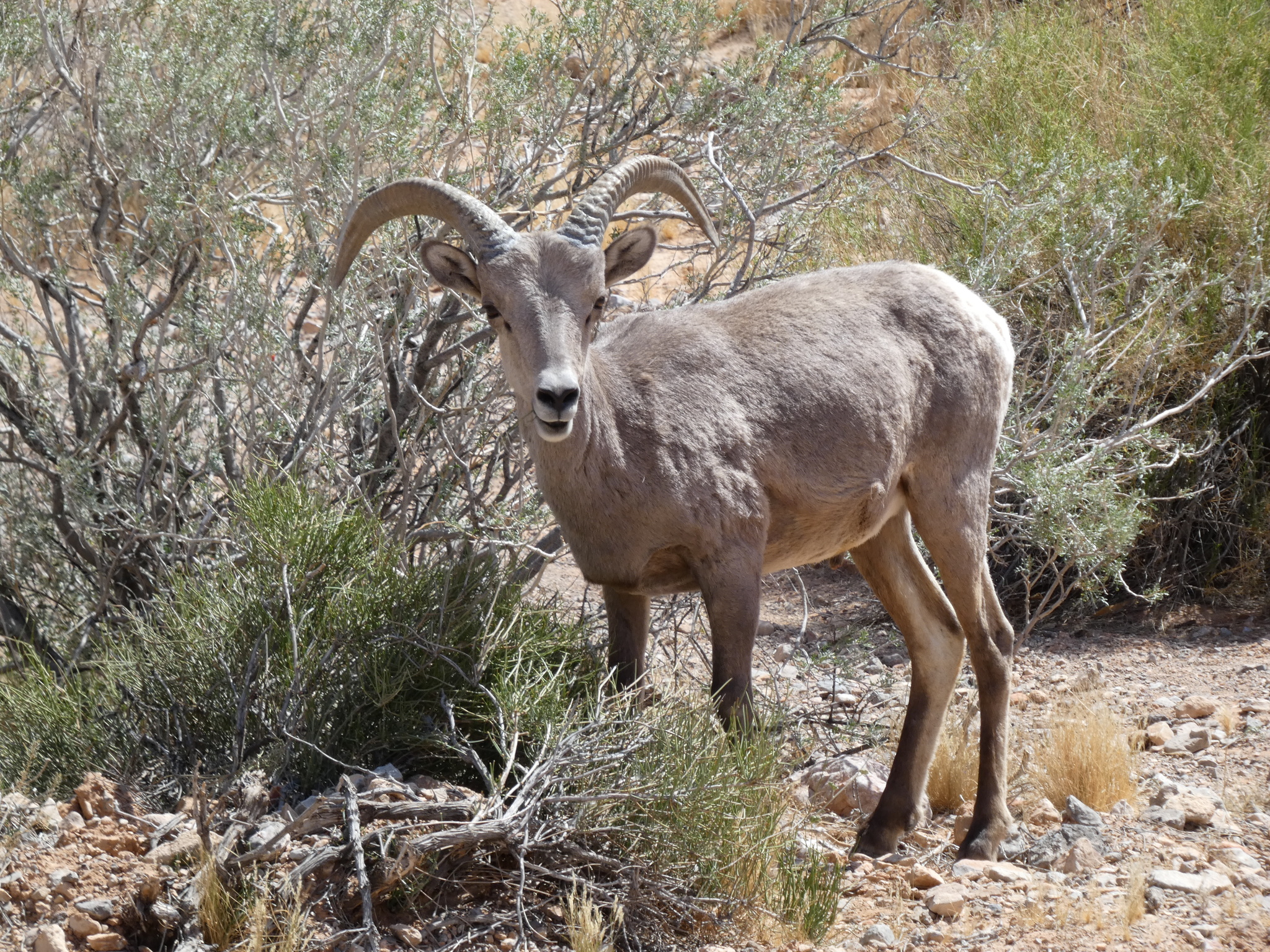
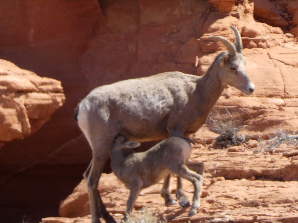
I had been searching and trying to view a desert bighorn sheep for years. I spent time in the Mojave Desert, Afton Canyon, Anza Borrego Desert, Zion National Park, Ash Meadows National WIldlife Refuge, Desert National Wildlife Refuge, Arches National Park, Joshua Tree National Park, and Death Valley National Park. At every turn I missed them. The closest I had ever come was seeing their hoof prints at Joshua Tree, and someone telling me they had just seen one yesterday where I was today. As we were leaving we visited the Valley of Fire visitor center. And right there, just out side the viewings was small herd of 14 desert big horn sheep. What luck!
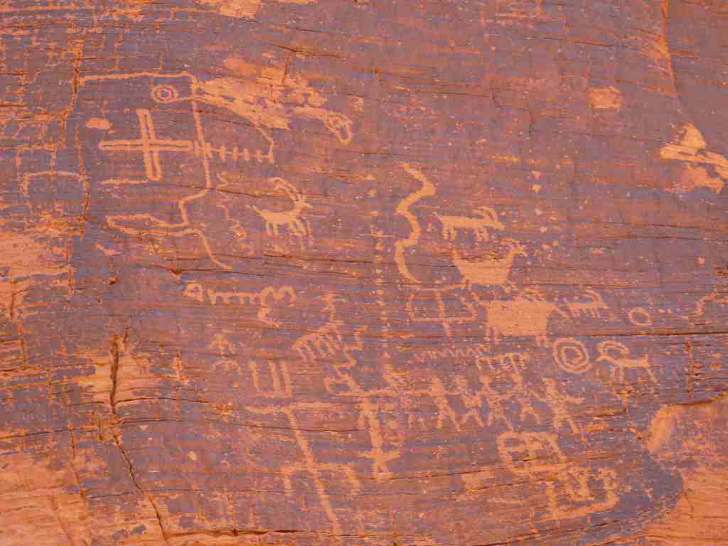
Petroglyph Canyon provided one of highest densities of rock art I had ever seen. We had seen rock art before in Kakadu, the Wadi Rum, the Painted Desert National Park, and more recently in Capitol Reef National Park and Arches National park. This art was plentiful. It spanned across multiple walls and showed many different designs and symbols. John Pacl attempts to order and explain some of these glyphs that go back 4000 years (Click Here). While most of my experience of early civilizations has been with structures, help concretize the fact that people were living here in this spot thousands of years ago. They had families, organization, and spirituality. This seems more than just prehistoric graffiti, it seems like a documentation of what they deemed important. The southwest is a pretty harsh environment. Hot summers, cold winters, very little water, and limited biome diversity, along with little arable land all contribute to a very difficult life. Yet the early people people long before the Europeans made it work. This was their home.