When visiting the southwest there is a natural loop many people do to see some of the most iconic parks of the south west.
Vegas –> Zion –> Bryce –> Capital Reef –> Arches –> Canyonlands –>Back to Vegas.
This route also goes through the Navajo Reservation, Valley of the Gods, Bears Ears national monument, Monument Valley, Antelope Canyon, and the north rim of the Grand Canyon and Valley of Fire State Park.
Zion National Park
Originally named Mukuntuweap meaning straight canyon by explorer John Wesley Powell as he believed it to be the Paiute name for the area. Isaac Behunin, settled the Zion Canyon in 1863 near today’s Zion Lodge, where he farmed tobacco, corn and fruit trees. He said of the area: “A man can worship God among these great cathedrals as well as he can in any man-made church; this is Zion.” The name stuck.
Shuttles ferry people up to 9 different stops along the valley floor. Given our limited time we opted for exploring the Narrows (Stop 9), and climbing up to Scouts Rest (Stop 6).
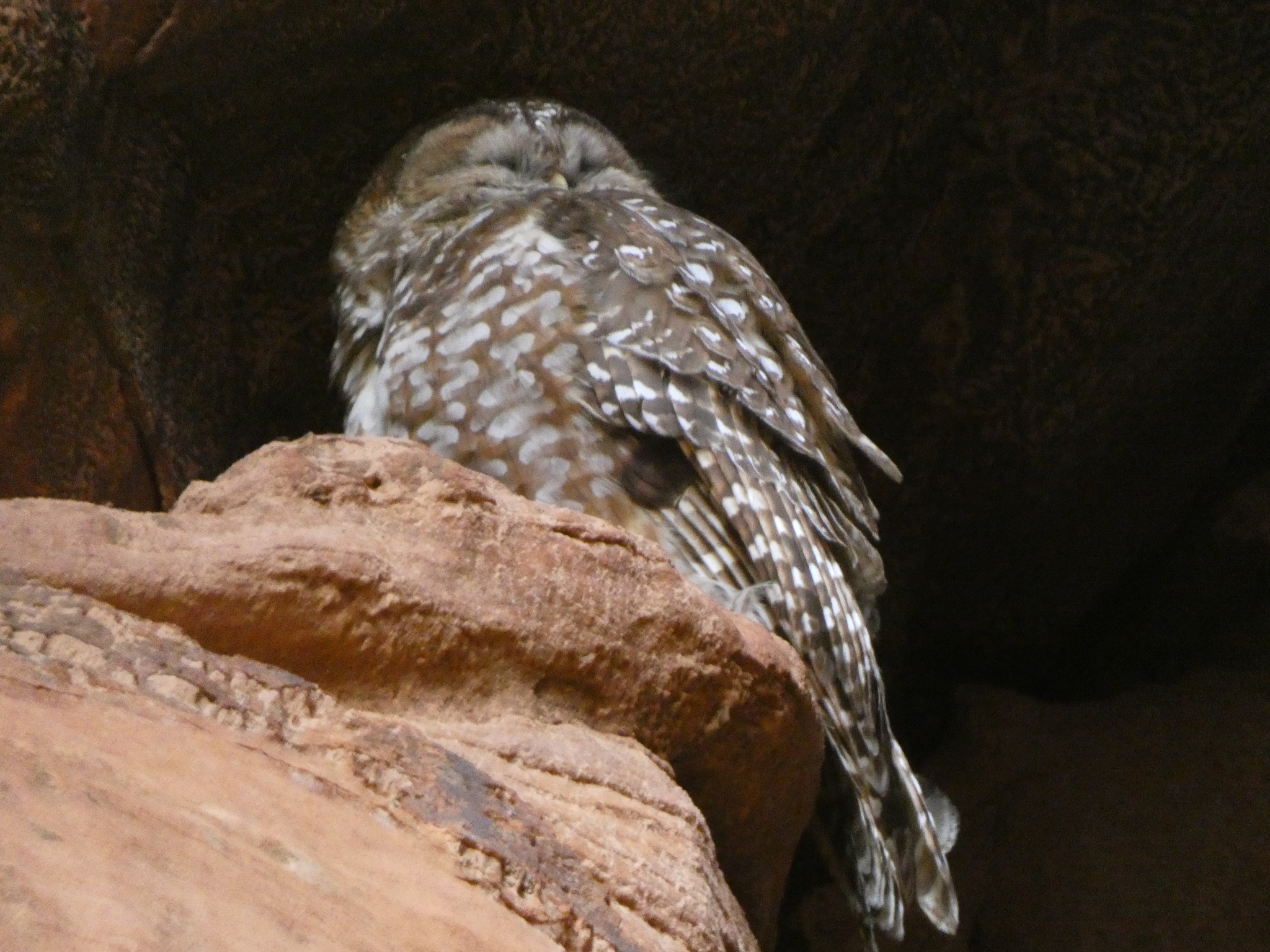
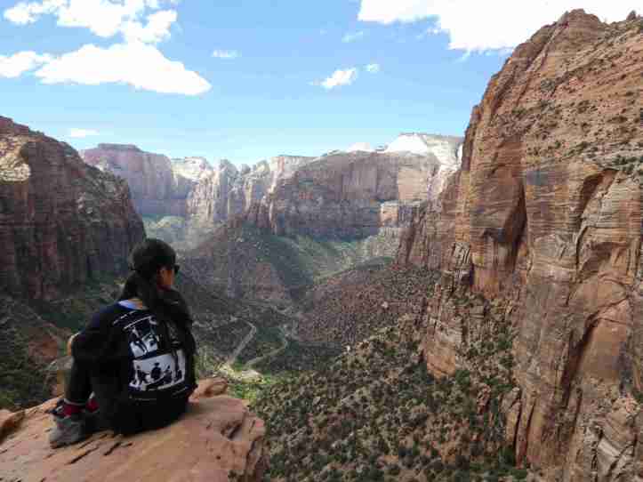
Scouts rest offers some of the most amazing views of the valley. It’s also on the way to Angel’s Rest. Half way up out of the valley floor, up the switch backs is refrigerator canyon. In the narrows canyons of the southwest Mexican Spotted Owls find roosts.
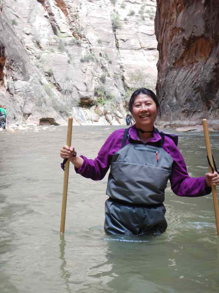
The Narrows offered a particular challenge the first mile was a nicely paved path, with a small river, with giant canyon wall reach upward to the sky. Progressing into the canyon the walls start to close in and eventually the only way forward to to walk upstream through the river. For this journey we rented waders. The canyon narrows leaving only a narrow slice of river 50 feet and smaller in width with canyon walls towering 1000-2000 feet above your head. Walking against the current on unstable rocks below the water was challenging and some of us fell in (not naming names here). The views were amazing and the hike, even though we only went three miles was absolutely exhausting.
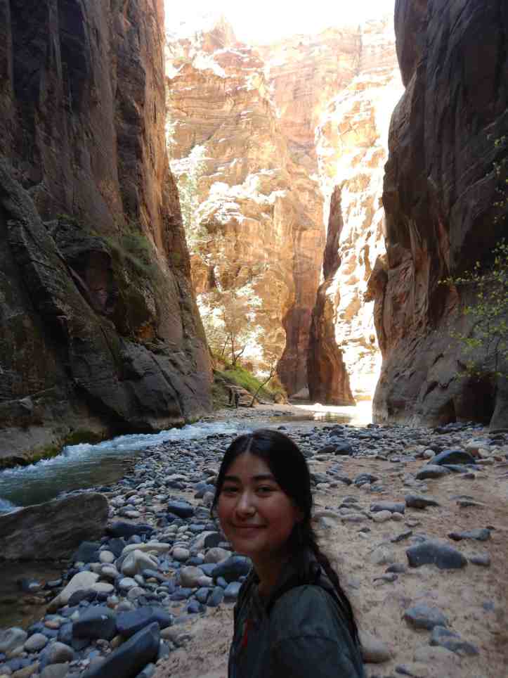
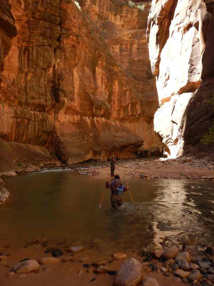
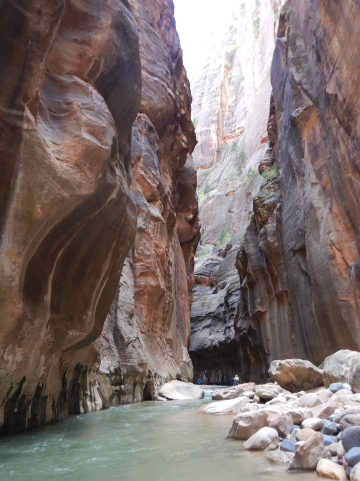
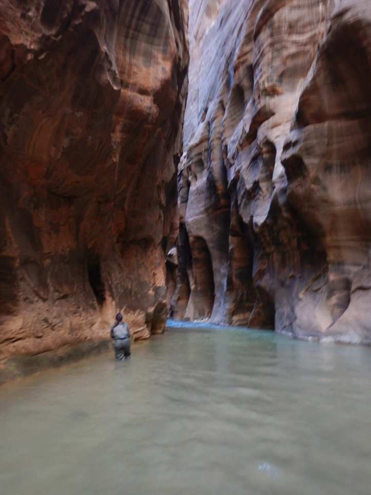
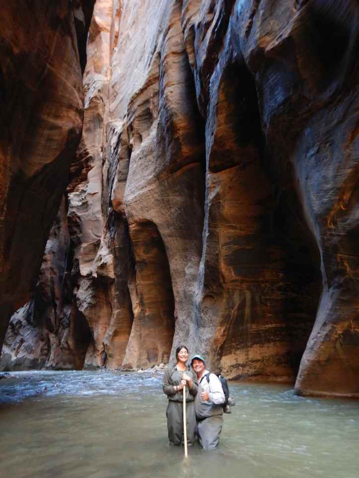
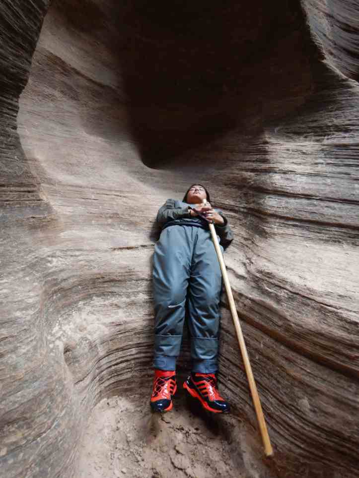
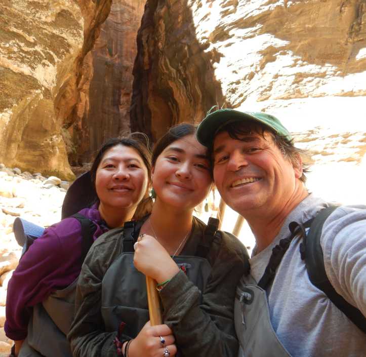
We exited Zion through the East entrance. We did a brief hike on the overlook trail which provided some transcendent views of the Zion.
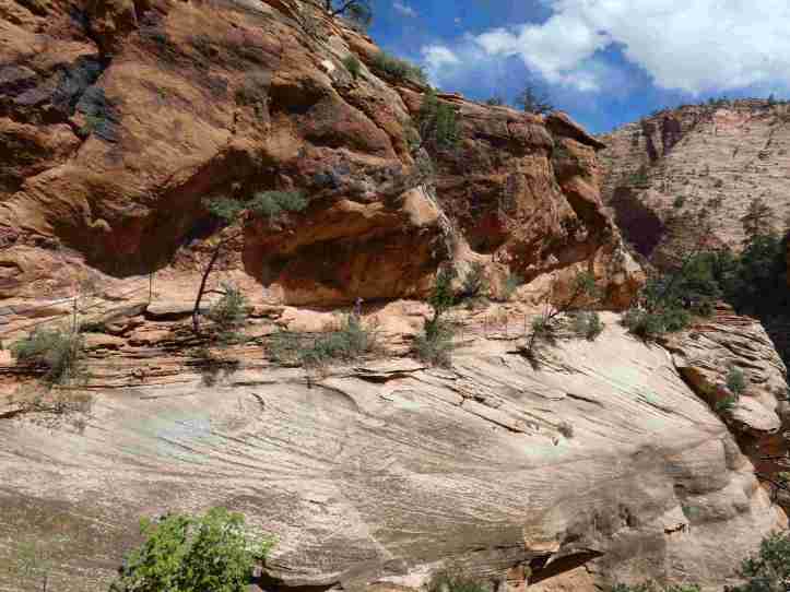
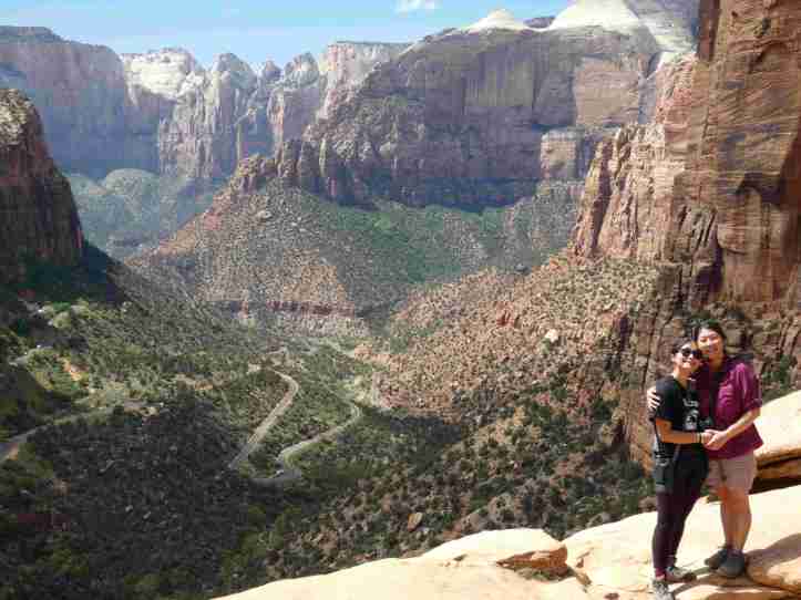
Kolob Canyon
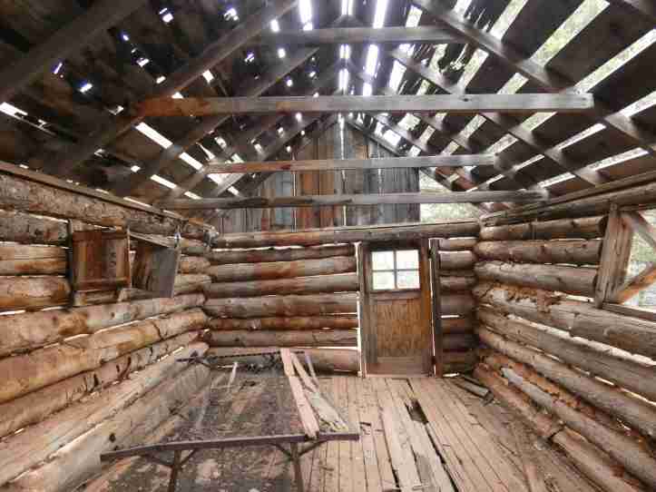
In a slightly less visited area of the park there is a five mile scenic drive with some hiking trails. The canyons are not a deep, but the hiking trails provide a great sample of the untamed wilderness. The Taylor Creek trail winds and back into the canyon until encountering the double arch. There are two homestead cabins along the way that were used in the early 1900s by people who harvested lumber in the valley. The double arch forms a natural cave and was quite serene. Many national parks update and “reconstruct” historical sites due to age and decay. Even though only 100 years old, the cabins really allowed my imagine to transport myself 100 years into the past.