Big Bend National Park
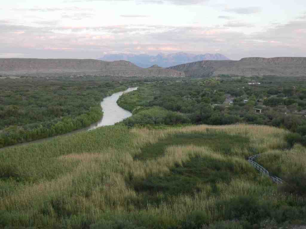
One of the largest national parks in the USA (#14), Big Bend National Park offer quite a few amazing features. There several scenic drives through the vast Chihuahuan desert. There are historical ranches, cinnabar mines, abandon hot springs, and dozens of fantastic views. It also boasts the only mountain range completly inside park boundaries – The Chisos Mountains. The Daniel’s Ranch area boards the Rio Grand
The land in this area was used for agricultural and hunting purposes for a ong time. There are petroglyphs and artifacts that date back to about 8000 BCE. Many different native groups moved in and out of the area ranging from Aztecs (1500s), Toltec, Jumano, modern Hopi, Apache, and Comanche (1700s). The providence of the “ownership” is murky before Jesus Estrada. Historical records show Jesus Estrada selling the land to a Swedish immigrant John O. Wedlin in about 1915, who setup irrigation and system of levees, and farmed the land until selling the land to Graham in 1926. Graham used the lands for their farming and ranching until 1937, when he sold it to Daniels who grew cotton in the area until 1944. Daniels moved away when the National Park system acquired the land. (From Wiki). It is unclear why Daniels moved away. Were they pressured by the National Park to sell or move? Had they had enough of eking out a living in the valley? Did they retire?
We look at snapshots of history through the lens of our current perspectives. Placards and national park texts celebrate and elevate the toil, turmoil, grit, and ingenuity of homesteaders romanticize the lives of the native Americans. Parts of the story are left out, important parts. Did Jesus Estrada sell of his own free will? How did Jesus Estrada acquire the land. What were the reasons why the Daniels left? Even though there was a small village near Dugout Wells which included a community center and a school, all of that was removed with only a windmill and placard to help remind us what once was there.
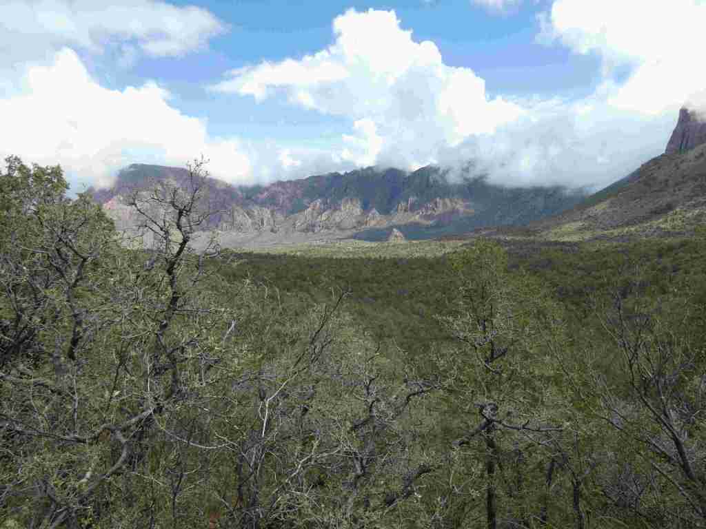
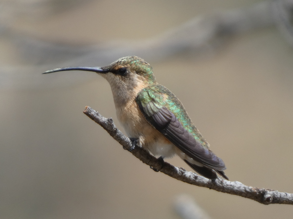
Taking a break from this part of the park, I decided to do the Colima Death March. High in the peaks of Chisos Mountains a small warbler comes to breed and nest. This is the only part of the united states where this bird can be found. It requires a four mile hike up nearly 2000 feet in 90 degree weather. Foolish maybe, but it was a stunning and beautiful hike. I drank nearly the entire 1.5 gallons of water and sweat at least 2 gallons of water. My shirt, pants, and even my socks were soaked with sweat. But I made up, the air was slightly cooler, and there was a nice breeze. I hiked along the high altitude trails looking. I saw a warbler that may have been my target. It had the eye ring and yellow venting…and after all the hiking, I convinced myself I saw the illusive Colima Warbler. I sped down the mountain after 4 hours of looking, arriving just before and thunderstorm dropped buckets of water. Water came off visitor center roof in sheets. Washes started fill. I was glad I made it down in time.

Guadalupe Mountains National Park

A brief visit to the Guadalupe allowed me to touch base again with land. This area of the Guadalupe Mountains changed hands many times since 1876; however unlike many of the other ranches, when it was sold to the national park service in 1966, at least one website stated that it was the wish of the seller’s father that the land be forever enshrined as public land. It felt different walking here than in lands where people may have been pushed off for one reason or another.
Padre Island National Seashore
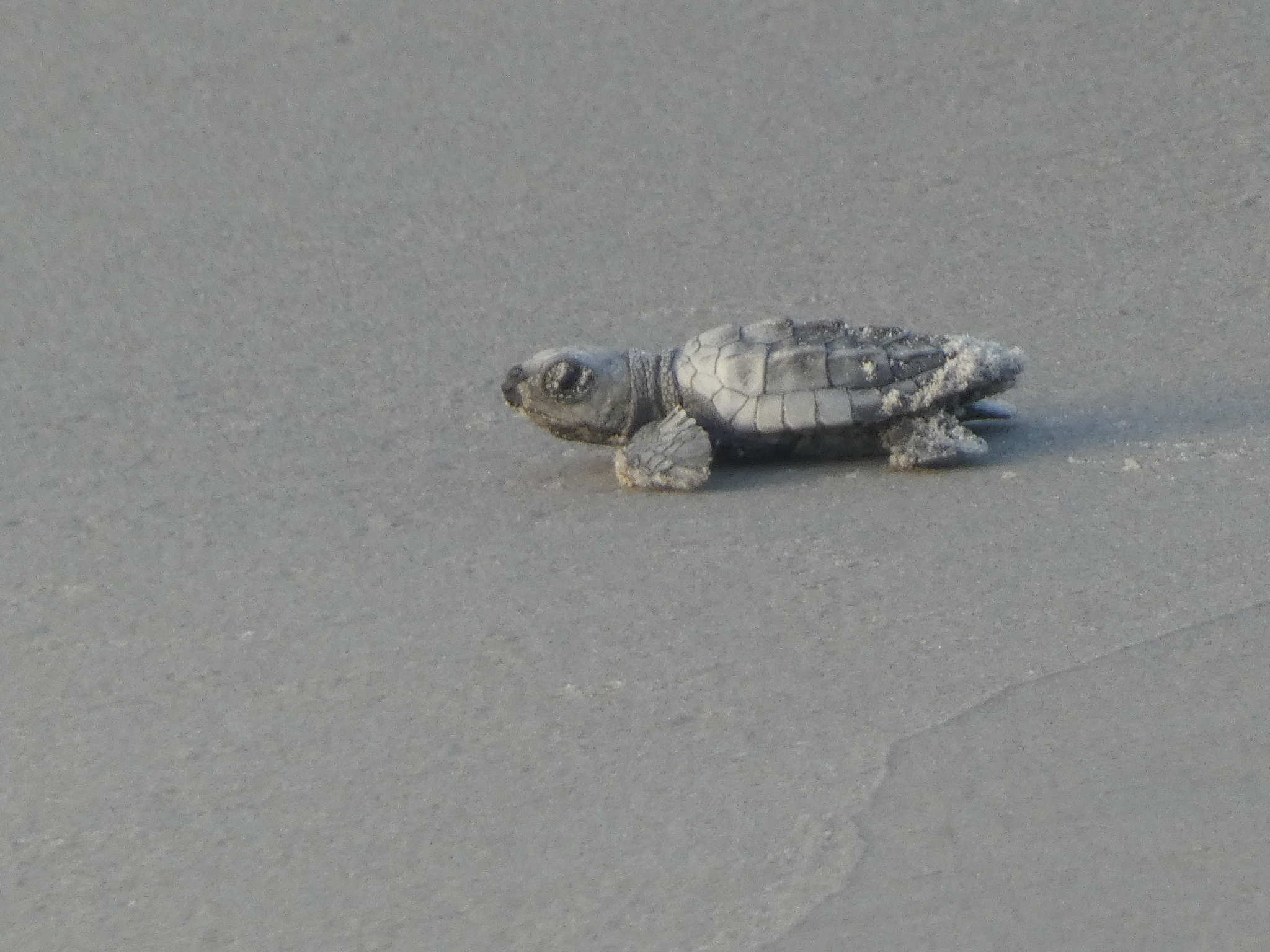
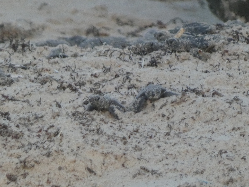
I found no trees in Padre Island National Seashore. Beaches, rolling grassy marshes, and dunes I did find. That said, I wasn’t there for trees, but instead to participate in a unique program regarding Kemp’s Ridley Sea Turtle. Historically, the Kemp’s Ridley Sea Turtle nested in many of the islands of the Gulf of Mexico. However due to turtle and turtle egg harvesting, the species had been largely devastated. In fact of the seven American sea turtles, Kemp’s Ridley is the most endangered. Widecast (link here), which aggregates data from all organizations and nesting sites through out the Gulf of Mexico and Caribbean, reports a overall rise in nesting sites from 1990 to 2014 (from 992 to 11,000). However there is a decline from 2008 to 2014 (19,000 to 11,000).
The good people at the Padre Island National Seashore are just some of the people collecting and incubating eggs, then releasing them. It is a multinational effort to save this species. Periodically, the national park service will allow the public to participate in the release of newly hatched turtles. People gather at the beach in front of the visitor center in the early morning. Biologists, volunteers, guard the newly hatched turtles as crowds cheer on the hatchlings as they make their way to the ocean. Volunteers wave flags and hold nets over the turtles to prevent seagulls from feeding on the baby turtles.